For some reason I can’t quite explain, late last fall I began to very badly want to hike the West Highland Way in Scotland.
So, this spring, I did.
Starting out in the northern suburbs of Glasgow and leading to Fort William at the foot of Ben Nevis, the highest peak in the country, there’s really nothing all that special about the Way. Although it passes many historic places and follows a number of old military and drover’s roads through the hills, it’s not itself a particularly historic route. And although it exposes you to some fairly spectacular scenery along the way, there are many parts of the Highlands where you can view such scenes. I don’t even remember where I first heard of it.
But it stuck in my head and instead of heading directly back to the Pacific Northwest from Bangkok, I booked tickets on Air India to go through Mumbai to London so I could take on the trail this April.
I picked this particular window largely because the Way starts to get overrun around the first week in May. In many places, I’ve been the only guest in the B&B; but I’ve also been told they’re booked solid from the following week until late October.
The down side is that the weather is iffy this early in the season, and I’ve seen both sides of it. Some days have been rainy and windy (well, they’ve all been windy, but you notice it more when it’s driving rain along with it), but most have also had gaps in the clouds and a spray of sunshine blasting down on the stark moors and streams.
Because of a nagging shoulder problem and because I have been fairly firmly committed to a one-bag approach to airline travel, I didn’t want to carry a full set of camping gear with me. Because it’s Europe, this isn’t a problem–you can run the route such that you end up in a cozy hamlet of some sort each evening and spend the night in a B&B or hostel. And because almost 15,000 people of all ages and shapes and interests hike it each year, there are a handful of baggage carrying services that will happily lug your heaviest items in vans between lodgings, leaving you with the modest task of hauling only a day pack with your lunch and a sweater on the trail.
So I pre-booked with a service (Mac’s Adventures) that took care of all the logistics required to put together the lodgings and baggage transport and bought a cheap duffel bag to load my unnecessary kit into for them to haul along.
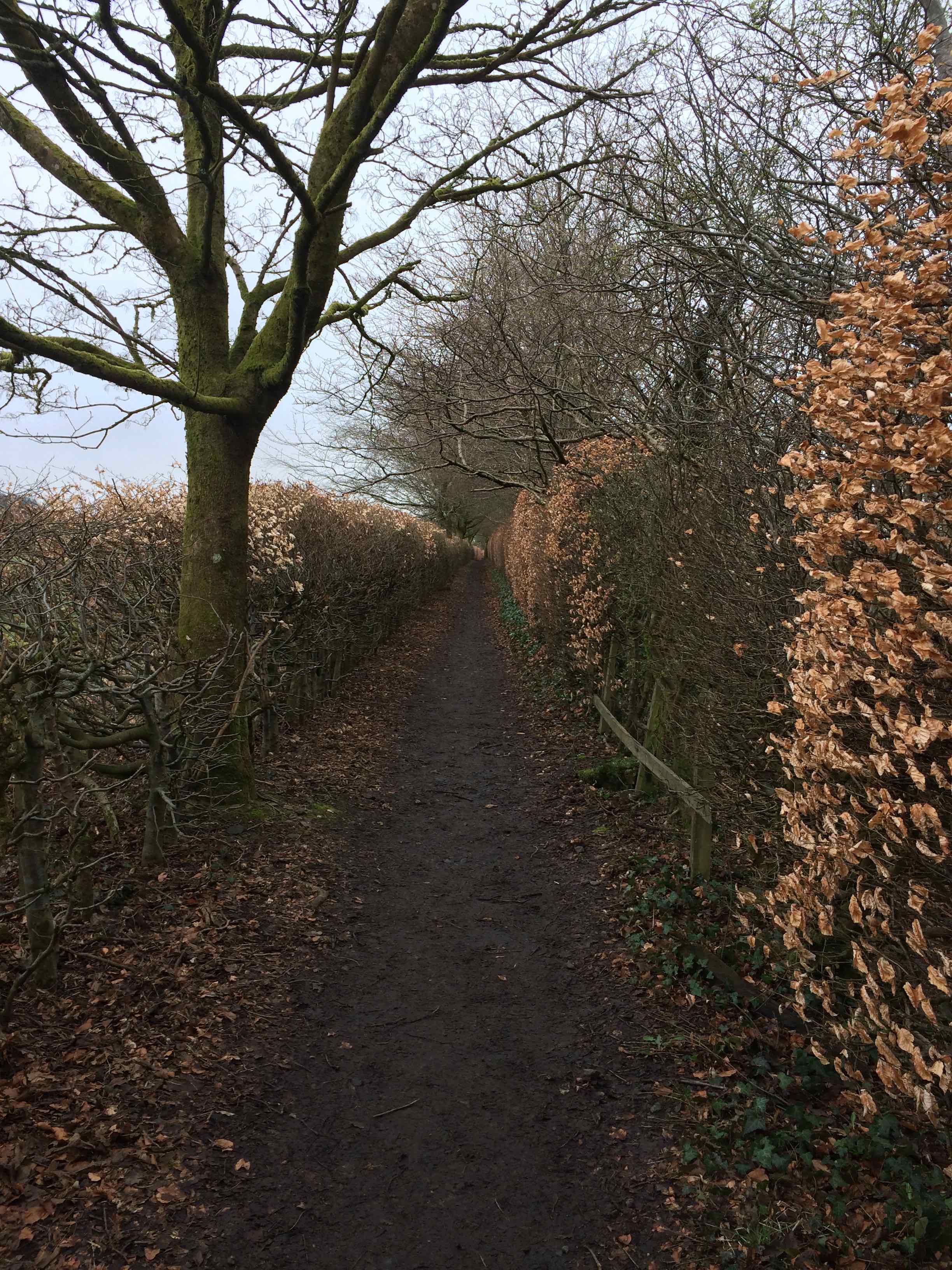
The first day out of Milngavie (you pronounce that “mul-guy” for some reason; Scots English as incomprehensible as Thai in that way) was easy walking through rolling pasture land and small villages.

It was riskier than the bucolic surroundings would seem to indicate, however… the threat of highwaymen upon the forest tracks remains all too real in the British Isles, as I found out first hand when I was set upon by a band of ruffians not far outside of Drymen. The thieves, not a one of them older than eight, cornered me and forced me to buy a small, dry, and rather tasteless cupcake for the outrageous sum of one pound. But I was lucky to escape with my life.
I pushed myself a bit on the first day just to reassure myself that I could maintain a decent pace. An upcoming 20 mile section of the hike, the longest day in the itinerary, with a fixed rendezvous at the end, was weighing heavily on my mind. So I got to Drymen far earlier than the check-in time at the B&B I was booked at.
I didn’t have any wish to wait around for three hours in the rain outside, so I consulted a gentleman trying to paint the outside of the B&B about a place to hang out indoors. He pointed me across the street to the Clachan Inn… reputedly the oldest public house in Scotland.
There was a fire going and a few quiet clusters of folks waiting out the rain. Not being a drinker, I’ve never really been a tavern-seeking person, but I could see the appeal of just hanging around the local pub. The staff were friendly and helpful and it felt a bit like someone’s living room.
After a while, the painter came in and sat at the bar near me and we started to chat. Like almost everyone in the area, he spent a lot of weekends and evenings out enjoying the spectacular locale scenery. He gave me a rundown on the trail and a brief geological history of Scotland. I got the idea he was painting houses in a small village rather than running a Fortune 500 company or teaching at a major university because he preferred being outside to driving a desk–a pretty common theme among folks I was to encounter along the Way.
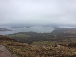
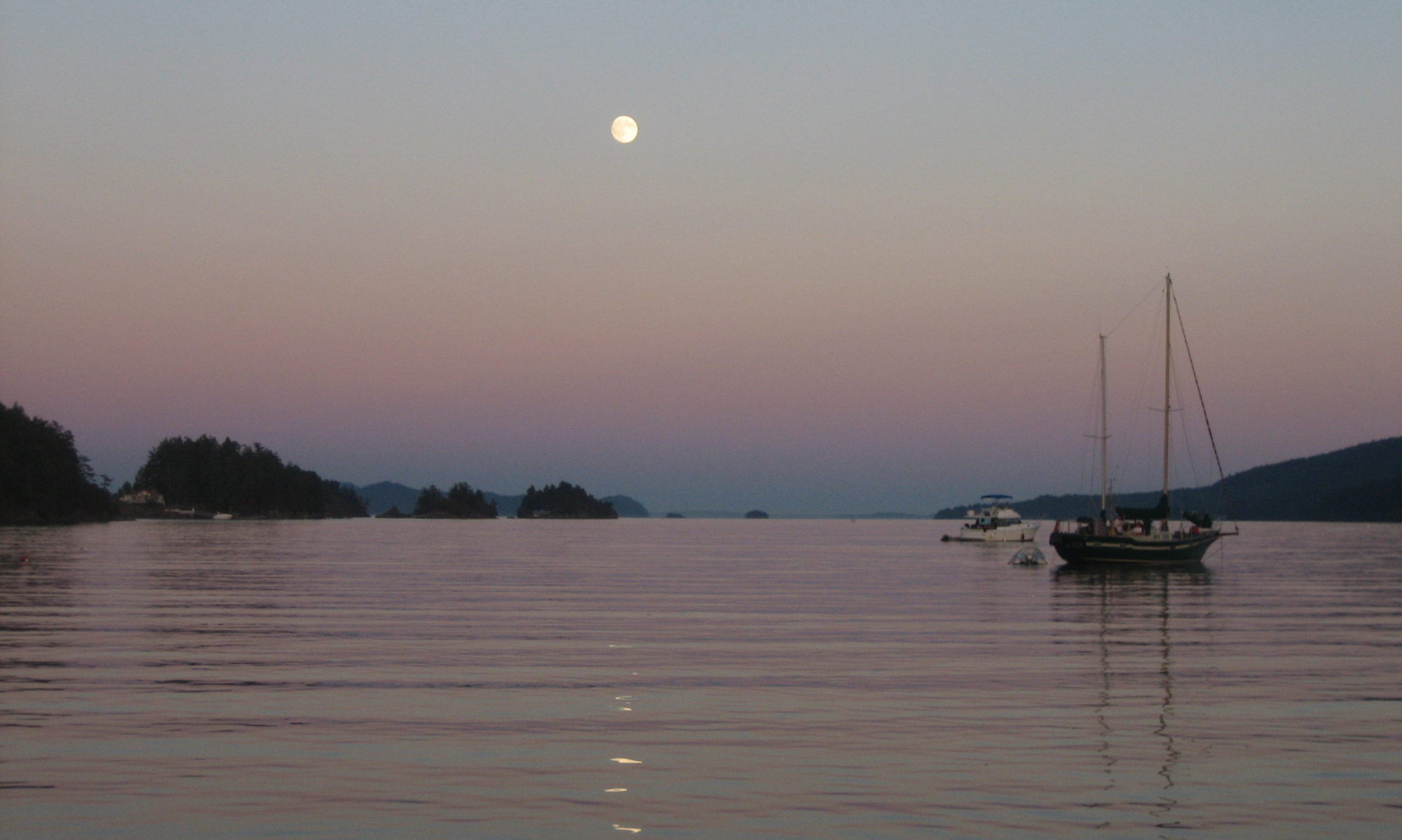
The trail runs high out of Drymen to overlook Loch Lomond, the largest freshwater lake in the United Kingdom. But the morning I topped the trail at Conic Hill it was misty and the lake and its rocky islands were vague gray shadows below.
The trail along the lake itself was much rougher than I anticipated, just jumbled rocks in places. Rob Roy’s hideout is along the trail and I could see why he picked it–no sensible pursuer would want to hack through such terrain coming after him.
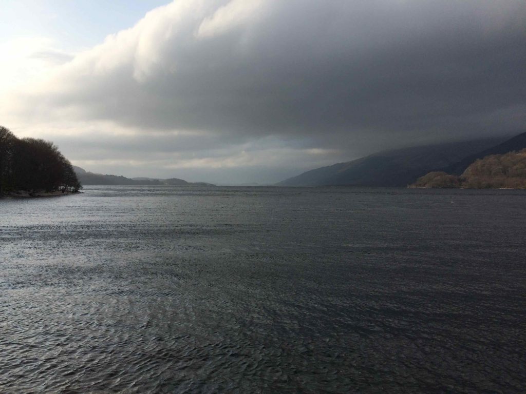
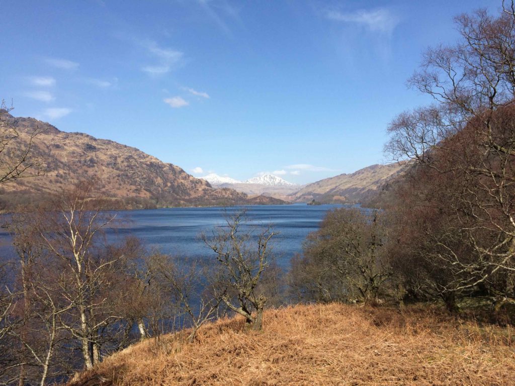
But the weather improved and the views along the lake were fantastic.
At Ardleish, I had to catch a ferry to get to my lodging for the evening. It’s an old-school setup. There’s just a pole on the shore has a line with an orange float tied to it. You run the float up the mast and the ferryman, seeing this in between sipping at his pint in the warm pub at the inn, comes across to fetch you.
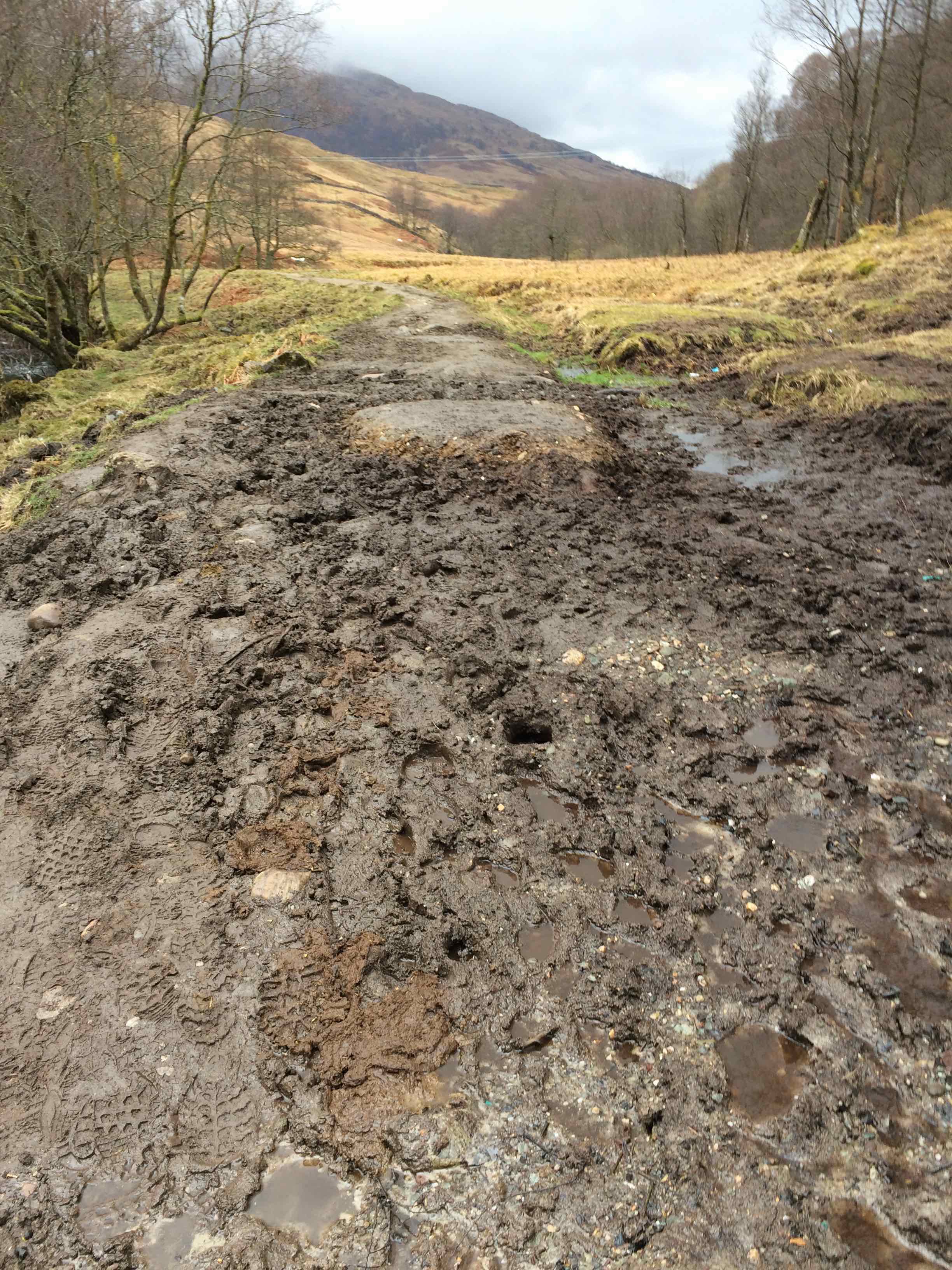
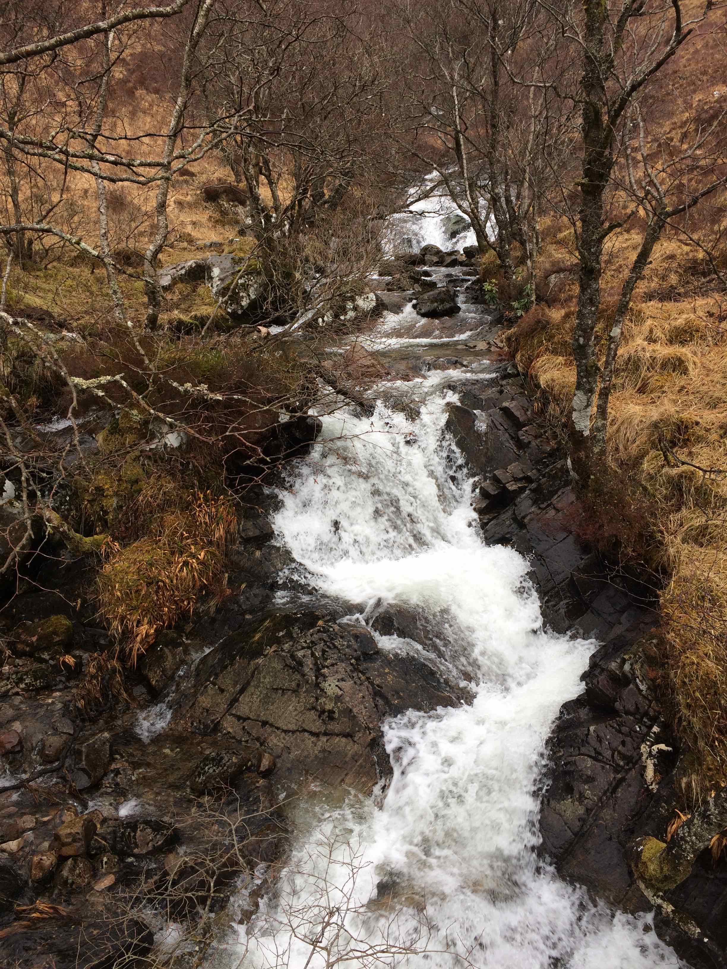
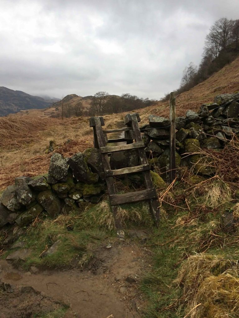
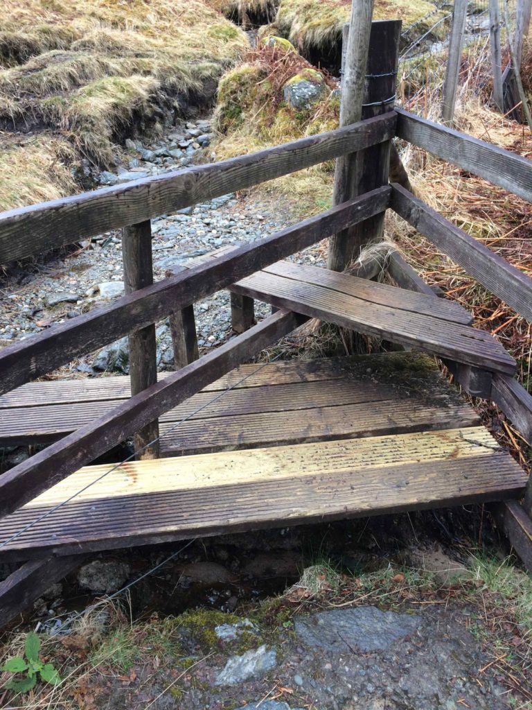
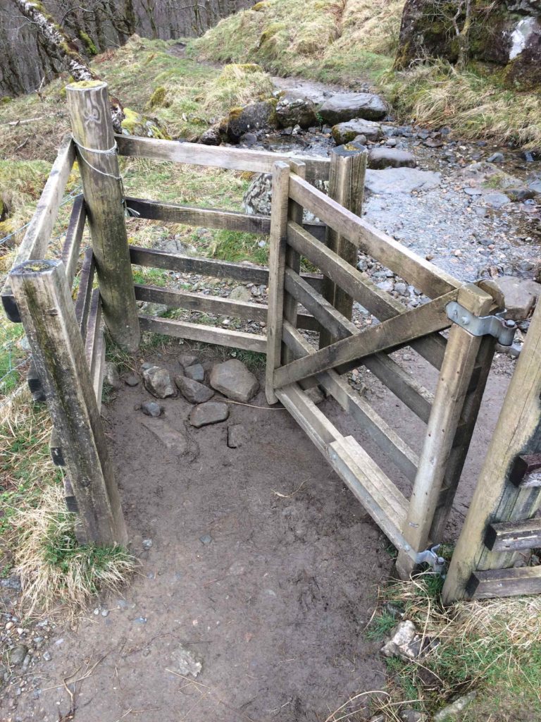
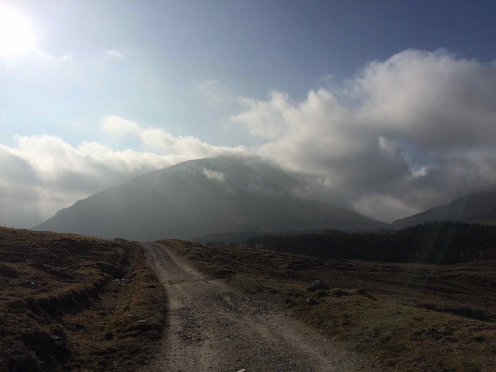
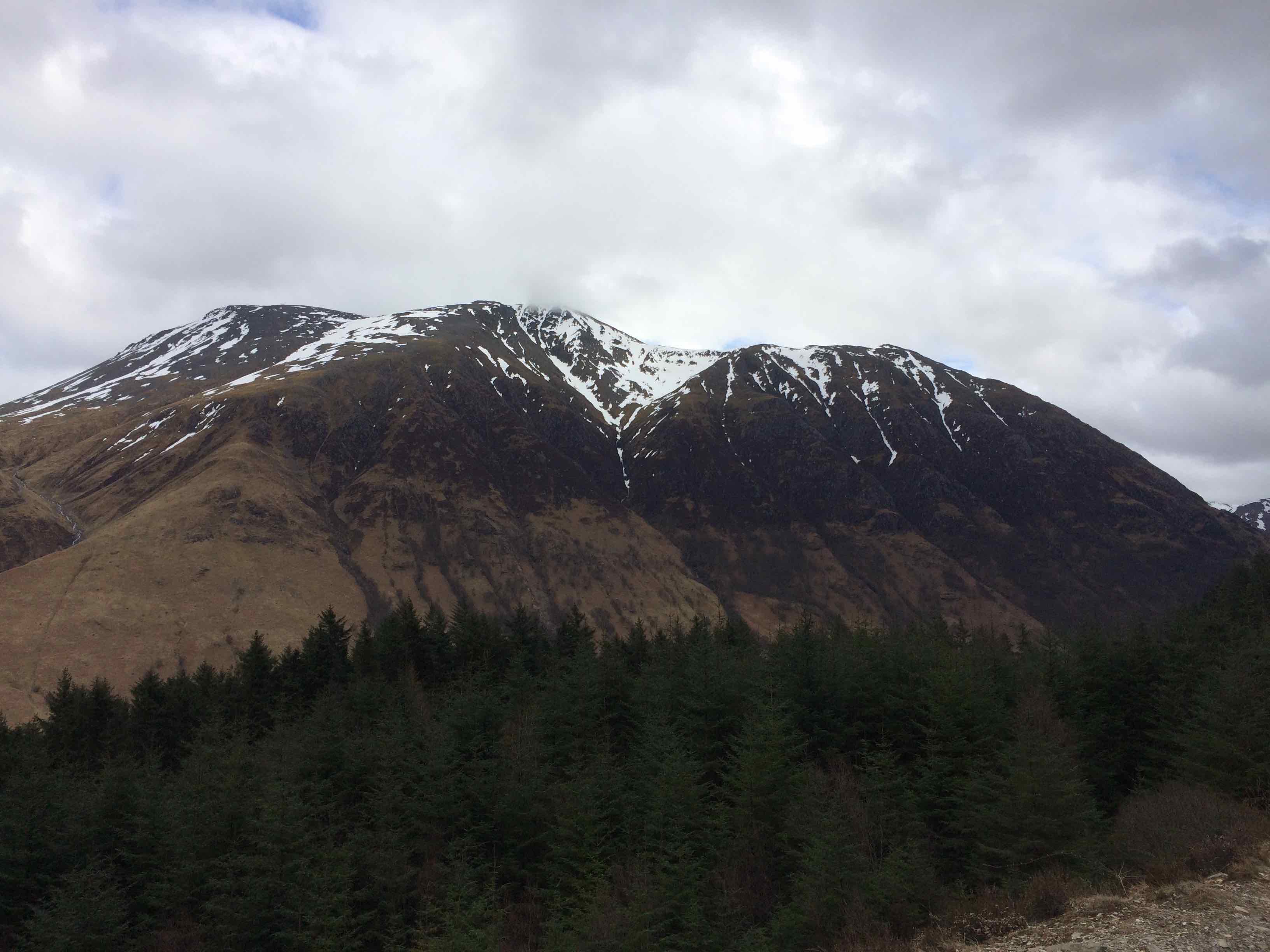
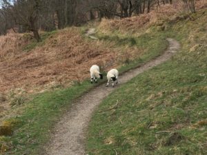 The next few days were a litany of sheep and cattle pastures and rocky and rough trails. It rained, it blew, the sun came out and lit the sparkling, rushing streams that tumble down the sides of the mountains. I got used to a variety of different techniques used for passing through fences. Folks are much more relaxed about private property here; where in the U.S. wandering through a farmer’s pasture would be an invitation to a shotgun blast, here you’re welcome as long as you don’t disturb the animals or leave the gates open.
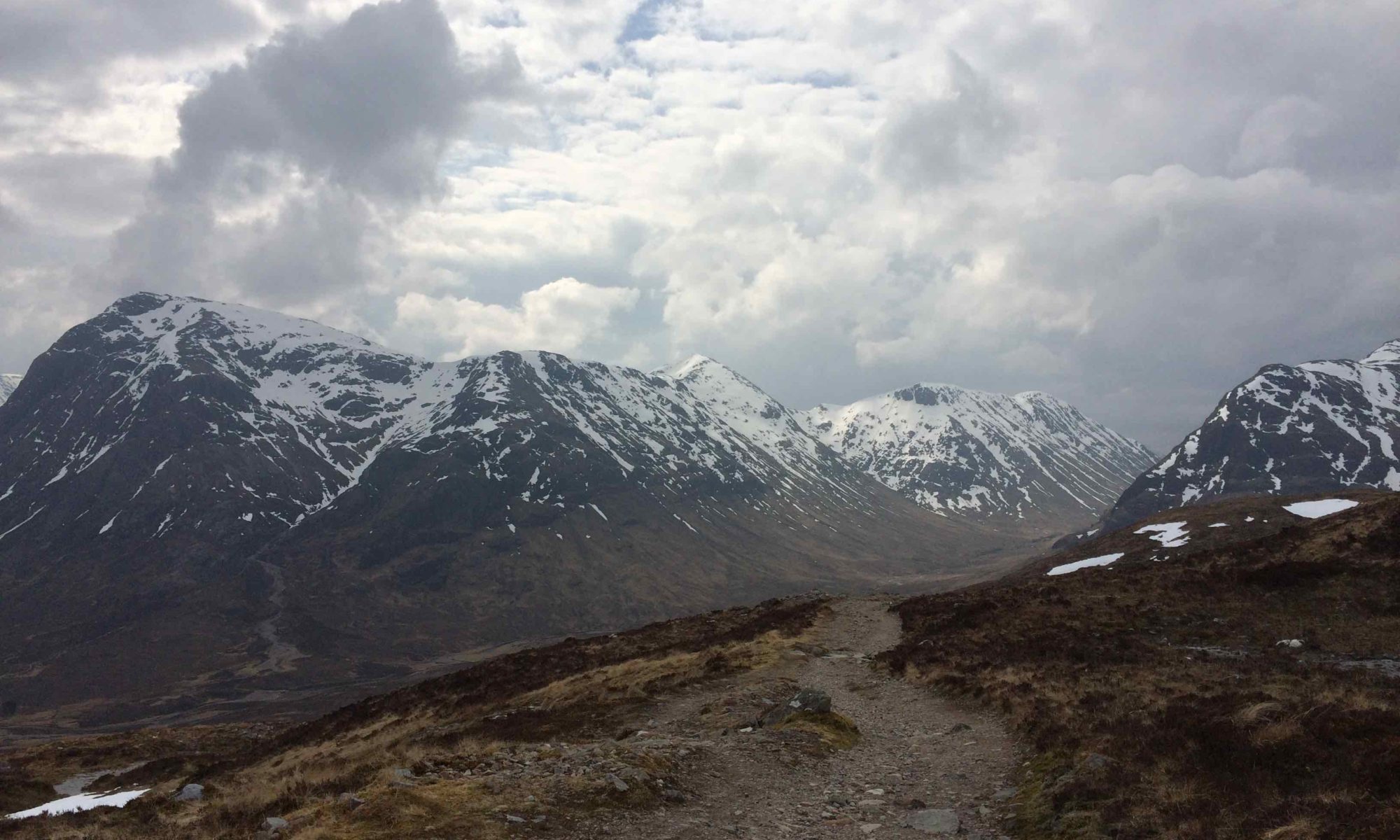
The third from the last day was the long day, a 20 miler, and the one I had most worried about. It is a high, remote stretch between Tyndrum and Kingshouse, trekking across the high moors and through forestry blocks on isolated hillsides. The Kingshouse Hotel, the traditional stopping point on this segment, is out of commission on a major remodel right now, however. Instead, my agency booked a cab ride to nearby Glencoe and a room in a hotel there. But this gave me a firm deadline: be in the parking lot of the Glencoe Ski Center by 1700 or sleep in the open.
Things got worse the night before. I pulled off my boots to find my left anterior tibialis tendon blown up like a golfball on the front of my ankle. The constant up-down on loose rocks the day before had aggravated it enormously and made the going painful in such terrain. I lay on the floor and propped my foot on the bed and took ibuprofen and hoped for the best.
I was the only guest in the B&B that night and the owner got up early to get me breakfast and get me on the road. I kept working out the timing in my head obsessively, but I was careful to keep a pace that avoided aggravating the tendon further.
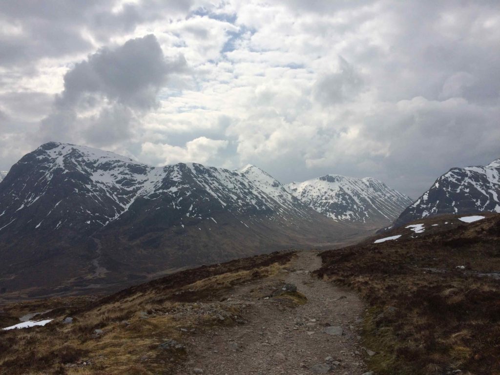
 But the going was easy, following old military tracks laid out in the 1700s to suppress the rebellious Highland clans, and the scenery spectacular and uplifting.
And it turned out I needn’t have worried about getting to the car park on time. I was there by 1530, comfortably early, and had a bite to eat in the restaurant while I waited. But 1700 came and went with no cab.
After a series of phone calls (which I felt fortunate to be able to place; Scottish cellular and internet service is as primitive and medieval as the scenery, far worse than Thailand or Vietnam), I finally got hold of the cabbie… there’d been a mix-up with the dates. But he was free and only about 20 minutes away, so I got to the hotel only slightly later than expected.
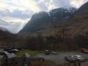
It turns out that Kingshouse being closed offers an unexpected bonus–you get to see the spectacular scenery of Glen Coe that is otherwise bypassed by the main route of the way. I sat up front with Kenny, the cab driver, and marveled at the narrow glen hemmed in by the tall, bald peaks of the Highlands. Lakes nestle in their cupped hands, snow still dusted their tops, and glittering waterfalls laced their stony ramparts. The view from my room at the Clachaig Inn was breathtaking.
The next morning, Kenny was back to take me and another couple that booked with Mac’s back to the trail. Bill and Heather were also Americans, but were living in Edinburgh for six months while Bill, a professor of English, was teaching there. They were also sailors and therefore excellent and amiable folks to amble along the trail with.
It was my first day seeing more than about four people at the same time on the trail, but apparently I had just been out of sync–Bill and Heather had been seeing the same people the whole way, and introduced me to them as we met up with them.
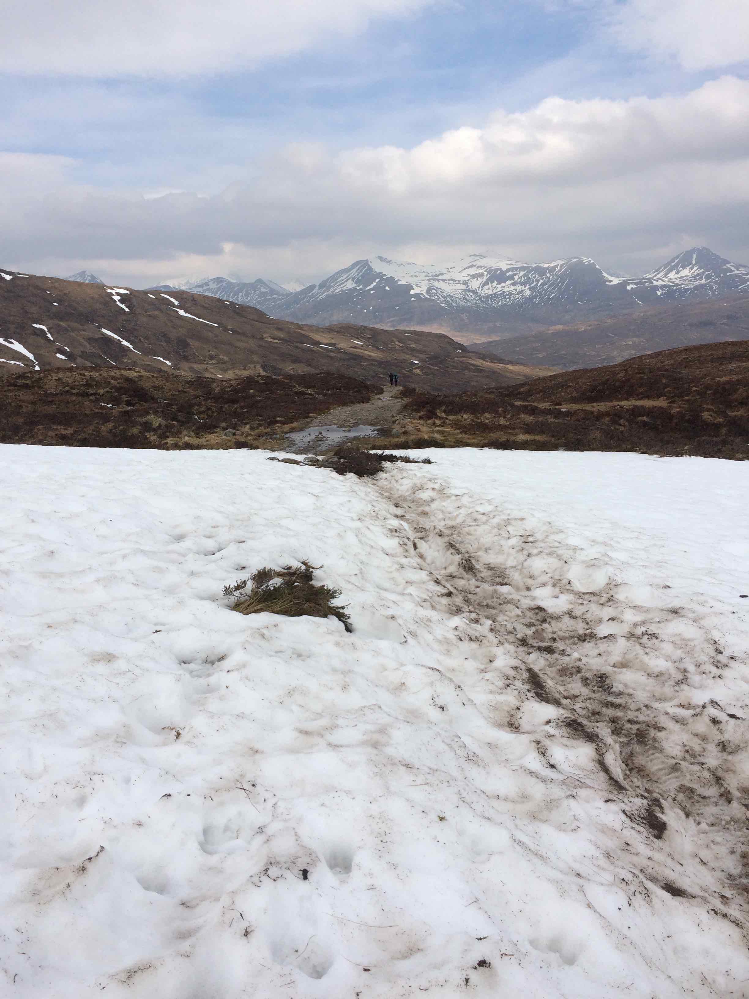
These included Karen and Barbara, 73 and 81 respectively, who put us all to shame by not only going faster and with fewer rest stops, but doing so while carrying all their own gear and camping rough along the way. And not only were they walking me into the dust on the fabled Devil’s Staircase, the ascent to the highest point along the Way, but they were only doing it as a warm-up… they planned to tackle a much more intimidating route later in the summer and wanted to be ready for it.
My accommodation that night was a B&B that had, of all things, a wide and deep bathtub. A complementary box of Radox sat alongside. I wasn’t slow to fill the tub with piping hot water and ease into it, wincing as various cuts and bruises felt the heat. But it felt glorious. Out the window, a pair of red deer grazed on the bushes alongside the house.
The next day, I fell in with some other Americans during the final few miles of the hike. I’d been leapfrogging them for a few days and we’d exchanged a few pleasantries and the sort of trail and weather commentary as is common in these scenarios. But as we shed our rain gear and hit the pavement on the last stretch into Fort William we started comparing notes and I found out that my path wasn’t nearly as unique as I had imagined… Matt and John had also been out kicking around Southeast Asia for much of the winter and had flown here from Singapore just to hike the West Highland Way.
We compared notes on our trips. They were part of a larger, looser group of hikers, and they’d been staying in hostels along the way but were all carrying all their own gear. I was slightly gratified to find that John’s feet were hurting just as much as mine; on the other hand, they both planned to tackle Ben Nevis the day after finishing the WHW, so they couldn’t have been feeling that bad.
By the time I limped along the pavement into Fort William, I was feeling pretty beat-up. My left ankle was on fire, both feet were sore, and I’d developed conjunctivitis in one eye that was giving me blurred vision and a splitting headache.
So it was lovely to find that the booking for my final two nights (I tacked on an extra day in Fort William, anticipating the need for some recovery time… boy, did I get that right) was a stately old mansion right along the shore of Loch Linnhe. The room was quiet and opulent, with a view out onto a lush and green side yard glistening with raindrops. I spent most of the day in bed watching Top Gear reruns.
Although I was hurting, I was already thinking ahead. As I’d wandered into Fort William the previous day, squinting and dragging my feet, I’d spotted a sign near the railway station that got my mind working again. The Great Glen Way continues out of Fort William for another 80 miles north to Inverness. It’s not as busy, stays mostly to the glen bottom along the lochs and Caledonian Canal.
It couldn’t be any worse, right?