As I woke up yesterday, blurry eyed, to the chiming of the tsunami advisory coming in on my phone, it struck me that it is just past a year since the last time we got such a message, in the aftermath of the 8.8 earthquake that hit Chile. Perhaps tsunamis have always occurred this frequently and we simply didn’t notice before we moved onto a boat. What will next year bring, I wondered?
We’re not actually on the boat right now, but we are on the water, and since we’re near Port Townsend we are far more exposed to tsunami damage than is the boat, tucked away far down Puget Sound in Seattle. It was for that reason that the night before, when the first tweet came in about a 7.9 quake in northern Japan, I sat up and took an interest in the developing story. As I watched the news, they upgraded the estimate from 7.9 to 8.4 and then to 8.8. The Pacific Tsunami Warning center almost immediately issued an advisory, then a warning, for Hawaii, but the West Coast and Alaska center’s board remained green even as I headed to bed around midnight. Nonetheless, I took my phone along and set an alarm to wake me just before the first waves were due in Hawaii.
I did so because, as I had watched the terrible pictures coming in from Japan, burning houses floating implacably inland on the debris-strewn waves, I had also been searching for some estimate of historical impacts of cross-Pacific tsunamis and the transit times… and I didn’t find out very much. There have not been very many to study in the modern era. Based on our previous experience, I wasn’t particularly worried, but since they kept upgrading the magnitude, I wasn’t exactly complacent, either. I wanted fair warning if it got upgraded again overnight.
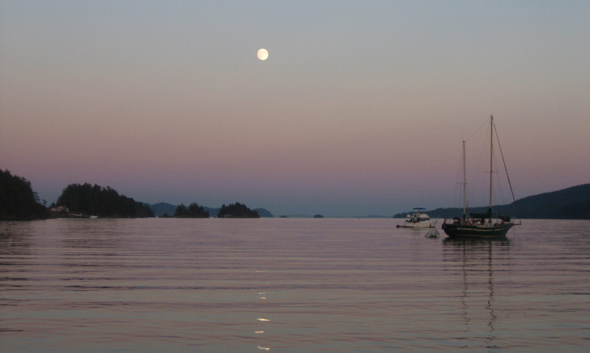
It did, and WCATWC finally issued an advisory for one foot waves at Port Angeles, and my phone chimed, and I got up and got the camera out to see if I could capture any photographic evidence this time around. Almost a half hour after the predicted time of impact, this is as good as I got:
[youtube]http://www.youtube.com/watch?v=Z1xriTHuO4g[/youtube]
The tide was falling at the same time, and the actual measured impact was only six inches in Port Townsend, and ultimately those waves I saw could have just been the wake of a passing freighter. As with last year’s tsunami, I was distinctly unimpressed.
Despite that, I felt that this time around both the warning centers and the news media got it right; despite the relative accuracy of the predictions, in many respects this represents unexplored realms and the alerts had what I considered to be a respectable degree of excess caution in them… respectable in the sense that it was only clearly excessive in retrospect. The one death and several close calls suffered in California and Oregon hopefully underscore the wisdom of those who evacuated as directed, even though we now know most of them would have been fine.
The more time I spent looking into what is known and unknown about this phenomena the more seriously I came to regard it. One can scoff at the local outcomes of overseas earthquakes for only so long before having to consider the likelihood of such an event much closer to home. Japan’s warning systems and civil protection are the finest in the world when it comes to seismic activity; their infrastructure and population preparedness far exceed our own. Along their coastline, most residents had at least fifteen minutes warning that the waves were coming, and they have been drilled to a far greater degree than our own populace on what to do when they receive such a warning. Still, the death toll promises to be staggering.
In Seattle, it turns out, there would likely be no warning, or none besides the tremor itself. A quake along the Seattle fault could generate a 16 foot tsunami that would be on downtown’s doorstep in two minutes flat. Not only is that not enough time for a warning; it may not be enough time for the shaking to dissipate enough to make your run for the hills… the Sendai quake lasted five minutes. You’d have been under water for three by the time you could start to evacuate. How long can you hold your breath?
Based on what we saw from the Nisqually quake in 2001, most people in the inundation zone (you can check the prediction map here (PDF)) aren’t thinking about evacuating anyway. Video from Pioneer Square, sure to be hard hit, showed crowds milling around watching the facades crumble afterward. Without knowing that the origin of the quake had been the Nisqually fault, far to the south, for all practical purposes they should have been lacing up their shoes and sprinting up Yesler in an impromptu marathon.
If you’re aboard your boat, of course, you’re in even worse shape. I can barely get off my dock in two minutes on a good day, still less if it’s on an elevator ride down as the water is sucked out before the wave. Of course, the two minutes is a worst case scenario for which the odds are essentially unknown, the Seattle fault being a relatively recent discovery and a poorly understood one at that. A more likely scenario, and one that allows more response options, has to do with the Cascadia subduction zone, fifty miles off the Washington coast. That’s neither wine nor roses either, though, since it has potential for much larger (Sendai-size) quakes and more significant wave heights. And despite the yeoman’s work that NOAA, the USGS, and local civil defense authorities have been doing spreading the word about quake and tsunami threats, and despite the proximity of the threat to Puget Sound, there is actually very little information that I could find from any of them on what a Cascadia subduction zone quake might mean in the way of tsunami waves in the Salish Sea.
The few predictions I found about transit times were vague and dealt only with the coast… around thirty minutes. I suppose an hour would be a reasonable minimum guess for locations in the Sound. But what to do in that hour? If you’re anchored out, do you dinghy ashore and run for it, or get underway? If you plan to stick with the boat, conventional wisdom is that deep water (better than 100 fathoms, according to NOAA) is good, and much of Puget Sound is that deep, but it’s unclear that the depth is as protective in what amounts to a narrow channel, or with what could be as much seiche as tsunami. If you plan to seek shelter ashore, where ashore? The inundation maps are based around the Seattle fault data and 16 foot waves, not the 100 foot monsters possible from the Cascadia zone. Of course 100 feet at the coast will be less in Puget Sound, but how much less? What about currents? What impact does the funnel of the Strait of Juan de Fuca have? How much buffer is Whidbey Island? Or does the refraction from those high bluffs spell extra peril in Port Townsend? No official estimates appear to exist.
I suppose the safest answer is just get as high as you can as quick as you can if you’re near-shore, but it’s not that simple… given ten to fifteen minutes, I can get up about forty feet from where I am sitting at this very moment. A half hour, I can be up to 400. But to get up to 400 feet, I have to go down again first; so if it’s going to hit in twenty minutes, I had better take my chances on a lower hill. If I’m underway, I imagine I’ll get as close to the center of the channel as I can and ride it out… we’re so slow that there may be no other plausible options, which I guess at least takes the worrisome guesswork out of survival and places it strictly in the realm of fate.
We have a long way to go, both publicly and privately, before we are even as close to as ready as Japan was, but with chances of a significant event running between 10% and 37% in the current fifty year window (depending on whose predictions you believe), it’s not a trivial matter. I’m trying to do as much as I can personally to be prepared, but it’s a little frustrating to not even have the basis of an official nautical scenario to plan around. Hopefully this spurs a renewed discussion of the issues.