Naming one of the promontories along this coast “Rugged” is like naming one of the oceans “water” or “blue.” It lacks any artistic or descriptive value whatsoever; they’re all rugged up here.
Nonetheless, some unknown mariner or cartographer, perhaps having exhausted all the other possibilities by this stage, named the point at the southern entrance to Kyuquot Channel “Rugged Point.”
As if further evidence were needed of this unknown individual’s dereliction of naming duties, the lovely little sandy-beached cove carved out of the inside of the point remains on the chart to this day without any label on it at all. Visiting boaters and fishers have all been reduced to referring to it as “the bay behind Rugged Point.”
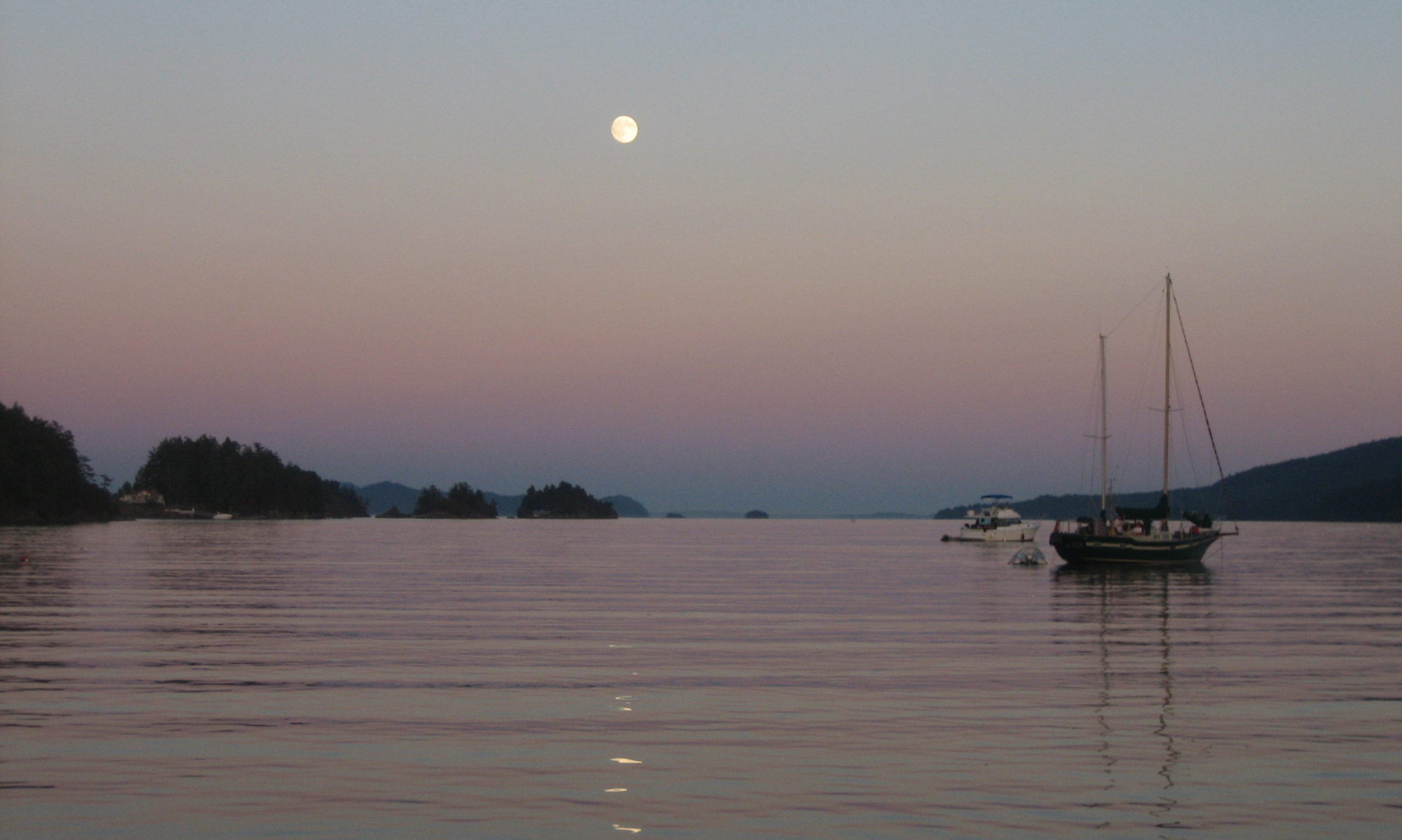
Despite this lack of attention from the naming authorities, the bay behind Rugged Point is a popular little spot in a remote part of the West Coast. It has been designated a BC Marine Park, and on the day that we arrived, after a long, lumpy passage in light winds and heavy fog along which we hadn’t seen another living soul, we found another sailboat anchored out in the cove, a small runabout near the beach, and a cheerful-looking group of kayakers clustered at the edge of the woods which fur the crest of the point and separate the sheltered inner cove from the roar of the Pacific a hundred meters away.
We were too tired for any more ruggedness that day, and as night fell, the fog that had lifted just long enough to allow us to anchor safely socked back in, tight. Overhead, our anchor light glowed like a small sun in all the mist, and a few hundred yards off, another brilliant glow in the darkness marked the position of our neighbor. Bats screeched overhead squeaking in peculiar patterns, as facile in fog as any other sort of weather thanks to their built-in sonar.
The next day, the fog lifted around noon and some rays of sun even broke through from time to time. Taking it as a sign, we piled into the dinghy and rowed ashore.

There are several lovely crescent beaches inside the point, but we were there for the big waves and distant horizons, so we ferreted out the short trail leading to the outside and headed that way. Miles of sand and logs, interspersed between rocky headlands, awaited us.
The beaches themselves are far from rugged; long, smooth, sand stretches out in the distance, scalloped out between a handful of rocky headlands, dotted with sea life. Those headlands, though, represent the rugged part. At low tide, it’s easy enough to follow the beach between them uninterrupted, but when the water rises, cutting across the heavily forested, rocky prominences could be formidable.

Fortunately, decades of visitors have carved out paths across the hills, and maintained them with cast-off bits of rope from their own boats or found on the shoreline. In one particularly steep spot, someone even erected a full-fledged ladder.
The beaches were busy, but serene nonetheless. Fog whispered across the sand, rolling back out to sea the further south we progressed, until, by the time we reached a small, curling freshwater stream just outside the park, we were in a pleasant splash of pale, warm sunlight. We went wading in the pools, and looked at flowers.
On the way back, we walked the high tide line. Covered with scattered logs of all shapes and sizes, like a giant-scale playroom spotted with cast-off Lincoln Logs. Scattered among the criss-crossed logs, we saw our first batch of Japanese debris; plastic bottles, mostly, some oddly-sized lumber that we slowly surmised must have come from a building of some sort. It was a sobering thought in an otherwise peaceful setting.